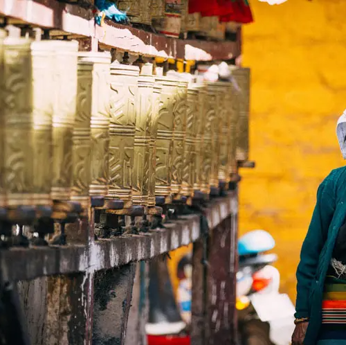


Introduction of Muztagh Peak:
As one of the splendid travel destinations along the silk road, it is the best place where you can climb mountains and enjoy the natural landscape. Muztagh Peak is located on the Pamirs, it is one of the peaks of the Kunlun Mountains Ranges, 7719 meters above sea level. the depth of the ice and snow accumulated on the summit is about 100-200 meters.
And there are 16 glacier tongues that go down from the peak, and the longest one, 21 kilometers long, lies on the eastern slope, the elevation of the glacier tongues here is 5300 meters. The glacier’s tongues on the western slope, 20 kilometers long have their end the tongues between 4.000 to 4500 meters. The snowline on the northern slope is 5500 meters long and that on the southern 5800 meters.
What to visit in Muztagh Peak:
In the eastern Mountain area of the Pamirs, there exists a huge area of the glacier, 2200 square kilometers in all and 635 square kilometers only in the Gongger-Muztagh peaks, where the glaciers are as thick as 100 meters, and when one looks at them, one would find the whole peaks are capped by the ice. Some of the glaciers here, such as Kekehili Glacier on the eastern slope, Jiangbulak Glacier on the northwestern slope of Muztagh Peak, and the Karaya-kara Glacier on the northern slope of Gongger Peak, are 20 kilometers long, and the landscape here is magnificent and astonishing.
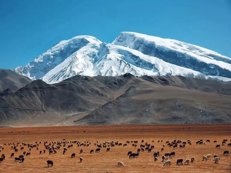
There are 3 peaks on the Pamirs that are open to mountaineers: the Gongger Peak(7719 meters above sea level), the Gongger Jiubie Peak(7595 meters), and Muztagh-Ata( 7509 meters and it is called ” the Father of Ice Mountains ). Every year, they attract thousands of mountaineers and tourists from all over the world.
Gongger Peak and Gongger Jiubei Peak: Ginger Peak and Gongger Jiubei Peak are far away from Muztagh Peak, with altitudes of 7649 meters and 7530 meters. Ginger Peak is the highest peak in the Kunlun Mountains, and Gongger Jiubei Peak is the second-highest peak in the Kunlun Mountains, and the mountains are covered with snow all year round.
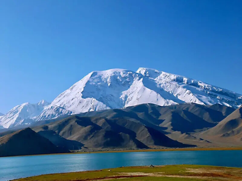
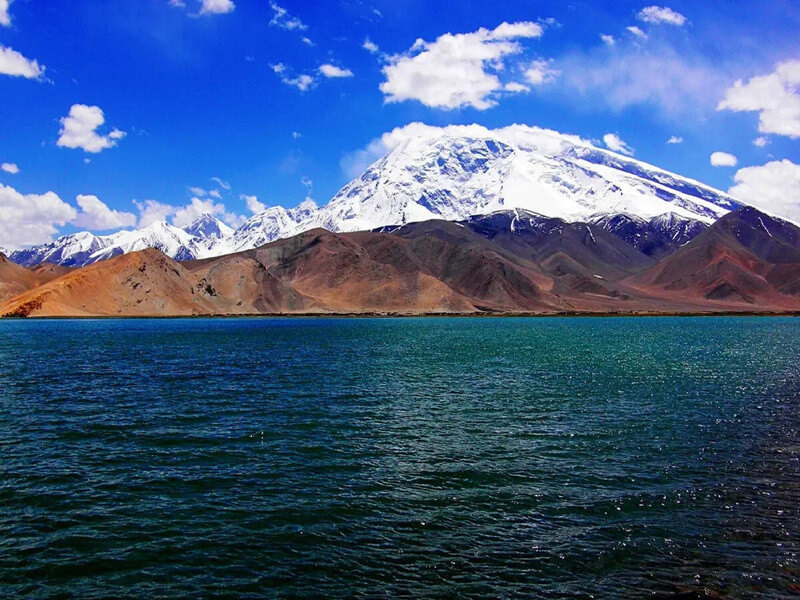
Karakul Lake: Karakul Lake is located at the foot of Muztagh Peak, because of its deep and gloomy water, in the Kirgiz language Kalakuli means ‘the Black Sea’. The lake is situated at the foot of the Muztag Iceberg in the eastern Pamir Plateau, and it is one of the top 10 largest meteorite pools in the world and an attractive destination for Xinjiang tourism, the lake is famous for its fanciful landscape and clear waters.
When is the best time to visit?
Every Summer and Autumn are the best seasons to travel to Muztagh Peak. Because, during that period, tourists can not only enjoy the scenery of Pamir Plateau but also enjoy the fragrance of melons and fruits to name just a few. which is quite suitable for sightseeing and vacation.
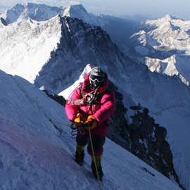
Every July is the best time to climb Muztagh Peak, according to your physical ability, the climbing time is 7-15 days. Mountaineering must be licensed by the Sports Committee and Mountaineering Association of Xinjiang Uighur Autonomous Region.
Mountaineering route:4400-meter mountain base camp – path gravel slope – 5200-meter ABC (as unloading zone for animal transport to human transport, climbers can also take a rest here) 5560-meter high C1 camp (path ice falls area) 6300-meter high C2 camp 6900-meter high – C3 camp -continue on the snowy slope peak.
Travel tips:
1. Mt. Muztagh is very steep, besides choosing the best time, tourists have to make a lot of preparations, such as physical training and so on.
2. Bottles, sunglasses, climbing boots or hiking shoes, sweaters, and waterproof trousers are indispensable.
3. You’d better rent an off-road car to the mountains if you would like to climb glaciers 4. The admission fees: On inquiryOpening time: The scenic area is open all day.